
SEAF: Shared Environmental Analytics Facility
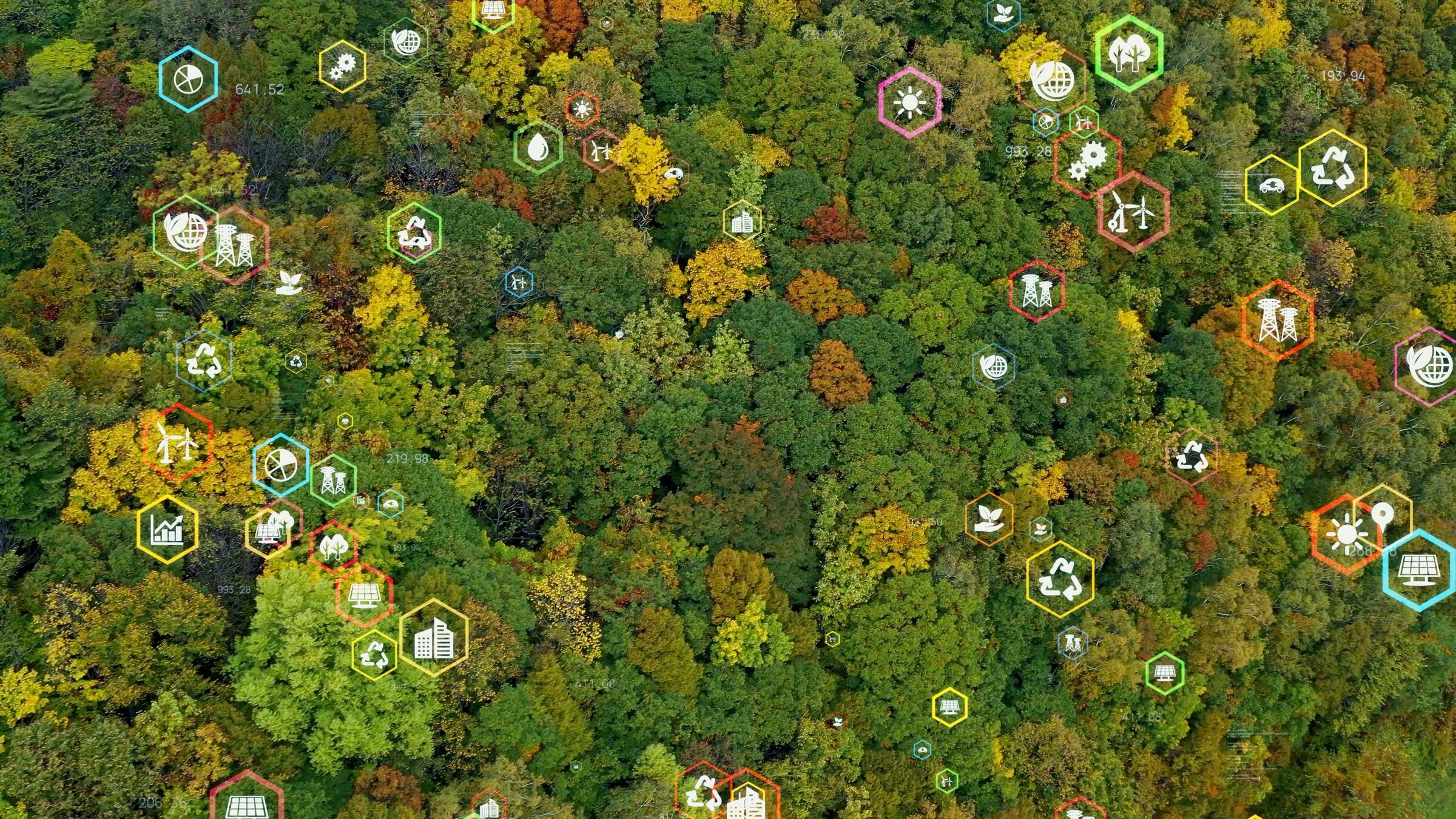
Environmental data is often held by different organisations, in different systems and under different conditions of access and use. SEAF creates a governed environment where trusted data and analytical capabilities can work together, turning fragmented information into shared insights that support faster, more consistent and confident environmental decisions.

SEAF is a secure, cloud-based facility that provides shared infrastructure for analysing environmental data. Developed as a WABSI and WAMSI initiative with support from the Australian Research Data Commons, it provides a governed middle ground between isolated data silos and unrestricted data sharing. Data custodians retain control while approved users can work with information under agreed access, use and output conditions.
SEAF uses a hub-and-spoke model, combining central governance and technical infrastructure with regional environments designed around specific priorities and participants. This approach enables organisations to work from shared environmental baselines while maintaining appropriate controls over sensitive information, intellectual property and data use.
Supporting decision-ready environmental intelligence.
SEAF is designed to turn complex and fragmented environmental information into reproducible, transparent and reusable analytics, including insights, forecasts and maps. This can support environmental approvals, cumulative impact assessment, regional planning and coordination between jurisdictions.
For industry, shared intelligence can reduce uncertainty, rework and delays by supporting assessments using trusted, region-specific information. For government and regulators, it can improve consistency, transparency and repeatability while enabling a broader view of cumulative impacts. Current SEAF gateways include the Pilbara, Cockburn Sound and Darwin Harbour, demonstrating how shared analytics can be applied to regionally specific environmental challenges.
Outputs from the program.
-
 01
Supporting nature positive outcomes – Shared Environmental Analysis and Reporting
2023 Download PDF -
 02
Capabilities for a national supply chain of environmental information – The Shared Analytic Framework for the Environment (SAFE 2.0)
2023 Download PDF -
 03
Shared Environmental Analytics Facility: Unlocking value from shared data and analytics
2022 Download PDF -
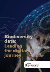 04
Leading the digital journey
2022 Download PDF -
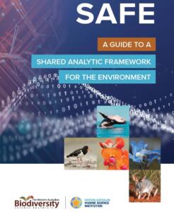 05
A Guide To A Shared Analytic Framework for the Environment
2021 Download PDF -
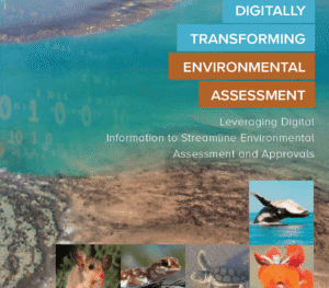 06
Digitally Transforming Environmental Assessment
2019 Download PDF -
 07
Remote sensing of native vegetation extent and condition
2019 Download PDF

More from this program.
-
Program
Biodiversity information management
Improving how biodiversity information is connected, accessed and applied so end users can use trusted evidence to make better decisions.
-
Project
IBSA: Index of Biodiversity Surveys for Assessments
Biodiversity surveys generate valuable information for environmental assessment, but that value increases when data can be accessed, combined and reused.
-
Project
SAFE: Shared Analytic Framework for the Environment
Environmental decisions depend on a complex chain of data, analysis and reporting capabilities.
-
Project
Remote sensing of native vegetation extent and condition
Western Australia needs reliable information about where native vegetation remains, how its condition is changing and where losses are occurring.