Remote sensing of native vegetation extent and condition
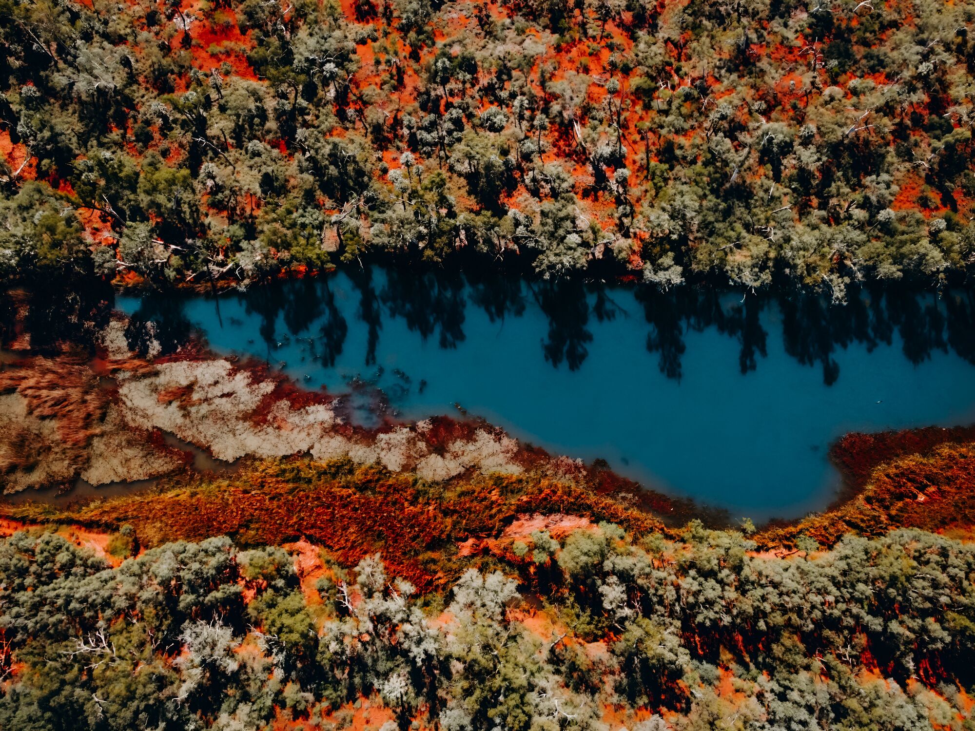
Western Australia needs reliable information about where native vegetation remains, how its condition is changing and where losses are occurring. This project examined how remote sensing and other emerging technologies could provide a more efficient, coordinated and statewide approach to monitoring native vegetation.
Seeing change across a vast landscape.
Understanding the extent and condition of native vegetation across Western Australia is critical for biodiversity conservation, land management and environmental decision-making. Yet the scale of the State makes comprehensive assessment using traditional field surveys alone impractical. WABSI investigated how remote sensing could complement existing biodiversity data and field surveys to fill these information gaps more efficiently.
The project reviewed existing remote sensing technologies, datasets and data providers, assessing their strengths, limitations and potential contribution to a statewide vegetation monitoring program. It examined opportunities to combine satellite and other remotely sensed information with biodiversity datasets, vegetation mapping and landscape models to generate more useful information about native vegetation extent, condition and change.
Turning data into better decisions.
Remote sensing can help reveal how much native vegetation remains, where it is being lost, how vegetation condition is changing and whether conservation programs are achieving their intended outcomes. It can also help identify where management and policy interventions could have the greatest impact. However, remotely sensed patterns need to be combined with other information to understand the causes and significance of change.
The project identified opportunities to improve coordination, strengthen access to remote sensing products, update vegetation mapping and build Western Australia’s capability to interpret and apply digital data. It also highlighted the value of linking remotely sensed information with field observations and response models so that decision-makers can move from detecting change to understanding it and targeting action more effectively.
Outputs from the program.
-
 01
Supporting nature positive outcomes – Shared Environmental Analysis and Reporting
2023 Download PDF -
 02
Capabilities for a national supply chain of environmental information – The Shared Analytic Framework for the Environment (SAFE 2.0)
2023 Download PDF -
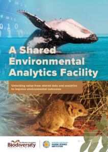 03
Shared Environmental Analytics Facility: Unlocking value from shared data and analytics
2022 Download PDF -
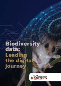 04
Leading the digital journey
2022 Download PDF -
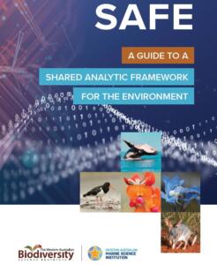 05
A Guide To A Shared Analytic Framework for the Environment
2021 Download PDF -
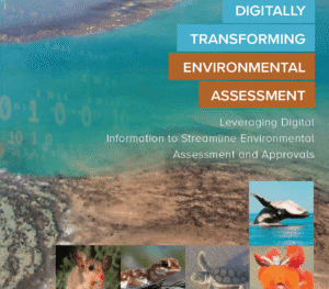 06
Digitally Transforming Environmental Assessment
2019 Download PDF -
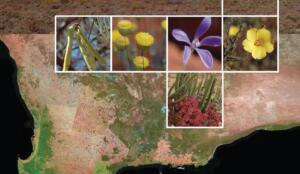 07
Remote sensing of native vegetation extent and condition
2019 Download PDF
More from this program.
-
Program
Biodiversity information management
Improving how biodiversity information is connected, accessed and applied so end users can use trusted evidence to make better decisions.
-
Project
IBSA: Index of Biodiversity Surveys for Assessments
Biodiversity surveys generate valuable information for environmental assessment, but that value increases when data can be accessed, combined and reused.
-
Project
SAFE: Shared Analytic Framework for the Environment
Environmental decisions depend on a complex chain of data, analysis and reporting capabilities.
-
Project
SEAF: Shared Environmental Analytics Facility
Environmental data is often held by different organisations, in different systems and under different conditions of access and use.