
IBSA: Index of Biodiversity Surveys for Assessments
Biodiversity surveys generate valuable information for environmental assessment, but that value increases when data can be accessed, combined and reused. IBSA was developed to make biodiversity survey information more accessible, helping industry and regulators build a stronger evidence base for environmental assessment and decision-making.
Making biodiversity data more accessible.
Each year, hundreds of biodiversity surveys are undertaken in Western Australia to support environmental assessments. Historically, information generated through these surveys was not centrally collated or easily accessible, limiting opportunities to use existing knowledge to inform new decisions. IBSA was developed by WABSI and the Department of Water and Environmental Regulation to address this gap.
Launched in 2018, the Index captures and consolidates information from more than 500 biodiversity surveys conducted each year and makes that information publicly accessible. By bringing survey information together, IBSA helps create a more connected picture of Western Australia’s biodiversity and reduces the need to treat every assessment as an isolated source of information.
Supporting better environmental decisions.
Making biodiversity information easier to find and use can strengthen the evidence available to both regulators and industry. IBSA helps users better understand biodiversity values when considering proposed activities, supporting more informed decisions about how development can occur while protecting Western Australia’s unique environment.
The project also demonstrates how improving access to existing information can create value without requiring all new data to be collected from scratch. WABSI’s role included stakeholder consultation, development of the business case and implementation planning, helping translate a recognised information gap into a practical system for decision support.
Outputs from the program.
-
 01
Supporting nature positive outcomes – Shared Environmental Analysis and Reporting
2023 Download PDF -
 02
Capabilities for a national supply chain of environmental information – The Shared Analytic Framework for the Environment (SAFE 2.0)
2023 Download PDF -
 03
Shared Environmental Analytics Facility: Unlocking value from shared data and analytics
2022 Download PDF -
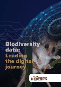 04
Leading the digital journey
2022 Download PDF -
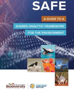 05
A Guide To A Shared Analytic Framework for the Environment
2021 Download PDF -
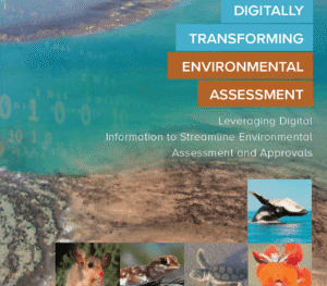 06
Digitally Transforming Environmental Assessment
2019 Download PDF -
 07
Remote sensing of native vegetation extent and condition
2019 Download PDF

More from this program.
-
Program
Biodiversity information management
Improving how biodiversity information is connected, accessed and applied so end users can use trusted evidence to make better decisions.
-
Project
SAFE: Shared Analytic Framework for the Environment
Environmental decisions depend on a complex chain of data, analysis and reporting capabilities.
-
Project
SEAF: Shared Environmental Analytics Facility
Environmental data is often held by different organisations, in different systems and under different conditions of access and use.
-
Project
Remote sensing of native vegetation extent and condition
Western Australia needs reliable information about where native vegetation remains, how its condition is changing and where losses are occurring.